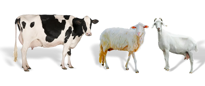
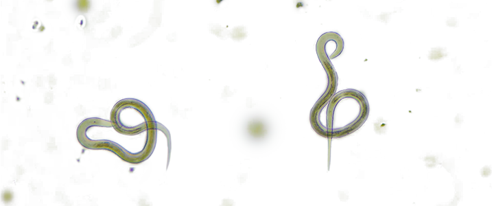
This WebGIS, developed as part of the Horizon EU SPARC project, enables users to view and analyze geographical data through interactive maps. It supports the visualization of spatial information such as the distribution of cattle, goats and sheep; the prevalence of helminth infections; the anthelmintics registered; and the resistance to anthelmintics on farms in Belgium, France, Greece, Italy, Ireland, the Netherlands, Poland, Spain, and UK.